
INTERACTIVE PROJECT FOOTPRINT
Where MDC Works, Learns and TrainsWhere Partnerships Create Impact
6mapped project and partner locations
8development and technical sectors
3primary field and training clusters
1editable data file for future updates
The interactive map needs an internet connection to load OpenStreetMap tiles. The location cards below remain available offline.
Select a marker or location card to view details.
Field and landscape contexts
MDC's footprint is understood through people, places, and systems.
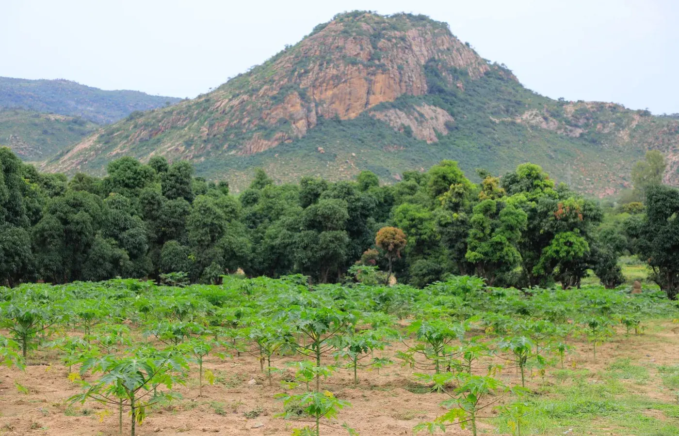
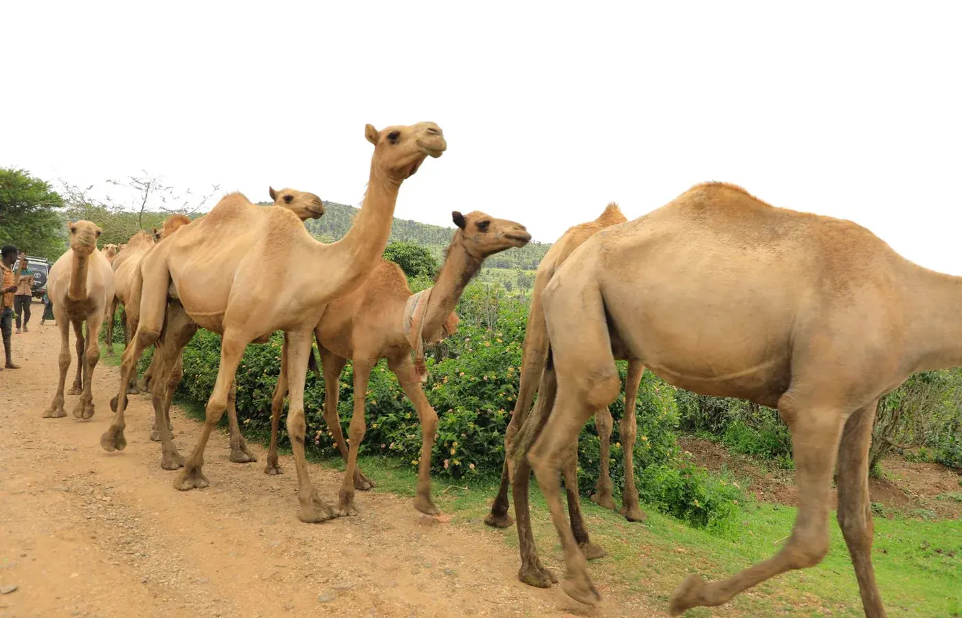
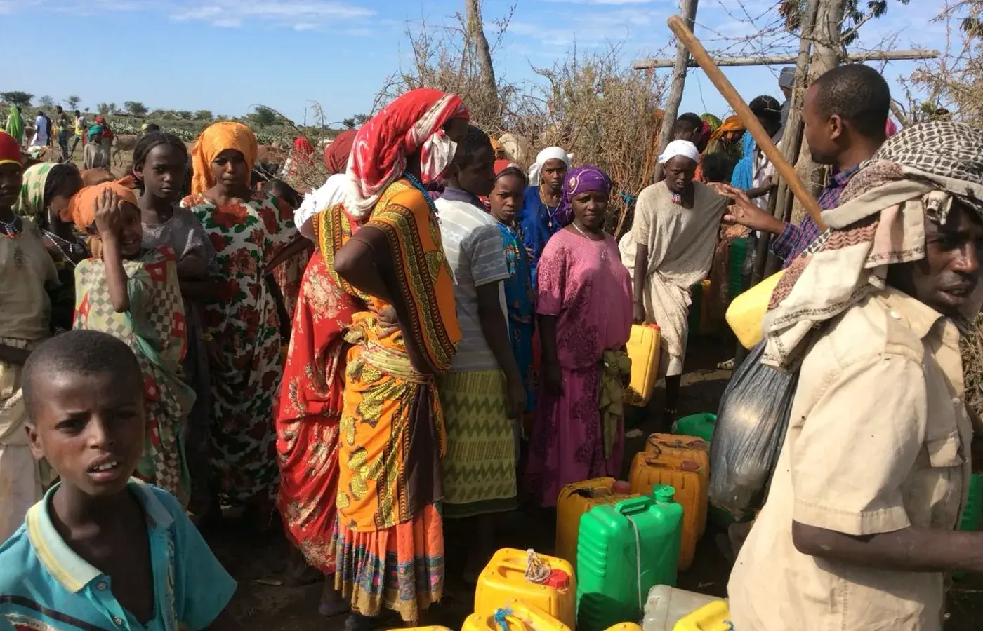


Landscapes and livelihoods
Development intelligence rooted in diverse African ecologies and livelihood systems.
Our work recognizes the interaction between people, institutions, markets, climate and natural-resource systems.